Oxford Atlas+ workshop videos page
Oxford Atlas+ resource tour
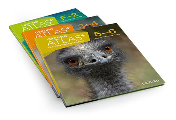
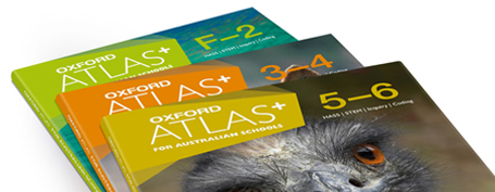
Oxford Atlas+ for Australian Schools: more than just maps
Not just a traditional atlas series, the new editions of Oxford Atlas+ for Australian Schools comprehensively cover the Science and Humanities and Social Sciences curricula for Years F–6, including step-by-step support for teaching and learning coding, all integrated into one resource.
Workshop videos
Join leading educator and Oxford author Annie Facchinetti as she presents an in-depth exploration of Oxford Atlas+. In a series of workshop videos, Annie highlights new print and digital components designed to facilitate cross-disciplinary learning and encourage students to be innovative, creative thinkers.
1. Oxford Atlas+ for Australian Schools: your essential HASS & STEM resource (4:10)
2. Overview of Oxford Atlas+ and why students still need atlas skills (4:19)
3. Oxford Atlas+ teacher support and teaching notes (3:25)
4. Oxford Atlas+ curriculum links, interative features and learning sequences (4:53)
5. Oxford Atlas+ topic spreads and classroom activities (4:09)
6. Oxford Atlas+ coding interactives, OZBOX cards and assessment (3:20)

Additional resources
The digital native, tech savvy students in our classrooms today have no need for traditional skills such as knowing how to use an atlas or to read a map, right? They’ll just use Google to get fast information about places or to find their way around. While it’s tempting to think that the generation moving through our schools has it all sorted when it comes to technology, recent research suggests that the concept of the digital native is actually a myth.
Rather than being instant experts because they were born into a world saturated with technology, Kirschner and De Bruyckere (2017) assert that today’s learners need guidance about how to effectively use the tools available just as much as students in the past. They not only found that there is, “scientific evidence showing that there is no such thing as a digital native who is information-skilled simply because (s)he has never known a world that was not digital”, they go so far as to suggest that digital natives are “yeti-like” or in other words, “fictional creatures” (pp.135-6). Among other sources, their findings are drawn from a report commissioned by the British Library and JISC that concluded that, “the ubiquitous presence of technology in [students’] lives has not resulted in improved information retrieval, information seeking or evaluation skills” (Rowlands et al., 2008, p.308).
So while students may be able to use technology to obtain verbal directions that match a map on their device, they actually do need to be taught to interpret and understand what they are seeing. This fact is recognised in the Geography strand of the Humanities and Social Sciences learning area of the Australian Curriculum as well as in the Mathematics curriculum, which both include critical skills such as map reading, map creation and giving and interpreting directions. The Shape of the Australian Curriculum: Geography paper (ACARA, 2011) that informed the development of the humanities curriculum acknowledges that students should be informed consumers of data and information and they therefore need to be explicitly instruction in how to interpret elements of maps such as scale, coordinates and compass directions. Indeed, even an online source as popular as Google Maps has a scale in map view and a compass in street view and therefore to make the most of the technology, students need to understand these concepts.
There is also a strong argument for teaching students how to use an atlas and other location and direction related skills using paper-based resources. According to author Deborah Farmer Kris (2016), for example, “map reading remains an important tool for building children’s spatial reasoning skills and helping them make sense of our world”. This view is supported by the Shape of the Australian Curriculum: Geography paper (ACARA, 2011), which links the development of spatial skills with mapping. A US report into geographical skills lamented that in part because of a reliance on technology, “an overwhelming majority of high school graduates are not prepared to do the ordinary geographic reasoning that is required of everyone in our society in the course of caring for themselves and for their families,” (Edelson, Shavelson & Wertheim, 2013), a pronouncement that lends weight to the value of developing basic location and direction competencies as critical life skills.
From tracking the migration of animals to finding your way home after a night out, mapping skills are an integral part of 21st century living that can be clearly and easily linked with the everyday experiences of students. So next time you are tempted to dismiss their importance, remember that students are relying on you to help them navigate through the potentially confusing, but very essential world of mapping and directions.
Explore your free digital sample
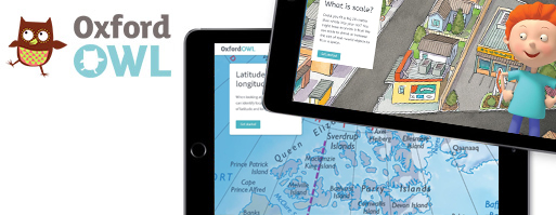
Register now to explore the wealth of interactive digital teacher and student resources that accompany Atlas+.
Download page proofs now

View complete page proofs and experience the series’ integrated coverage of the F–6 Science and HASS curricula.
Learn how to purchase Atlas+
Print editions are available now and student and teacher digital resources can be pre-ordered for 2018.